Killinger Creek
Where can I find it? Killinger Creek meets Quittapahilla Creek about one mile north of Rt. 422 and directly west of Snyder Road, as shown on the Google Map below:
View Killinger Creek Mouth in a larger map
Killinger Creek begins just south of Rt. 322 and east of Rt. 117. Traversing a number of sizeable grain & dairy farms with substantial numbers of livestock, it flows north and passes under Rt. 422 just west of the North Londonderry Township Wastewater Treatment Plant, which treats about 900,000 gallons of wastewater per day, mainly from Palmyra, and discharges slightly less than that (about 850,000 gallons per day) into Killinger Creek.
Drainage Area: 15 square miles
Stream Length: 4.2 miles point-to-point
Elevation at Origin: 459.3 ft.
Elevation at End: 442.9 ft.
 |
 |
|
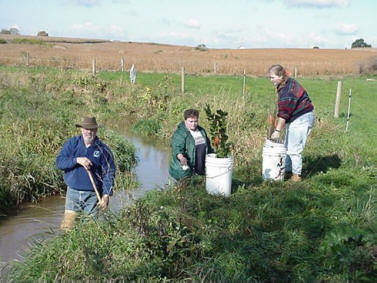
A volunteer crew plants a streamside buffer along Killinger Creek on Sensenig Farm, October 2000. |
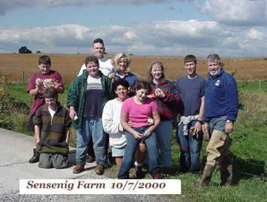
One of the volunteer crews planting streamside buffers on Sensenig Farm, October 2000. |
 |
 |
|
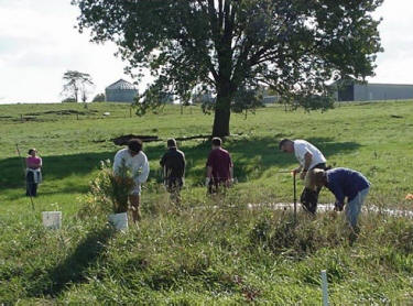
Volunteers planting a streamside buffer along Killinger Creek on Sensenig Farm, October 2000. |
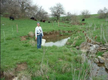
Volunteer planting streamside buffer inside newly installed cattle fence along Killinger Creek on Waldhausen Farm, November 2000. |
 |
For additional images of Killinger Creek and the other waterways comprising the Quittapahilla watershed, see the Photos & Images pages. |
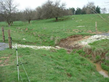
| Newly installed cattle crossing & fencing along Killinger Creek on Waldhausen Farm, November 2000. |