This page offers a photographic journey up Killinger Creek, from its mouth at the Quittie to its headwaters just south of Route 322 and just east of Route 117 (South Forge Road). The creek runs through an agriculturally rich & intensively cultivated area and receives large quantities of agricultural runoff. It also receives an average of some 800,000 gallons of treated water daily from the North Londonderry Sewage Treatment Plant, just south of Rt. 422 between Annville & Palmyra.
 The
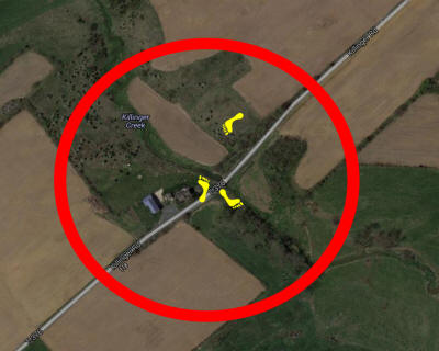
only photos available at present were taken
from near the bridge at Killinger Road, just south
of Route 422, as seen on the modified Google
satellite map at right. The yellow footprints
indicate the photos' vantage points.
The
only photos available at present were taken
from near the bridge at Killinger Road, just south
of Route 422, as seen on the modified Google
satellite map at right. The yellow footprints
indicate the photos' vantage points.
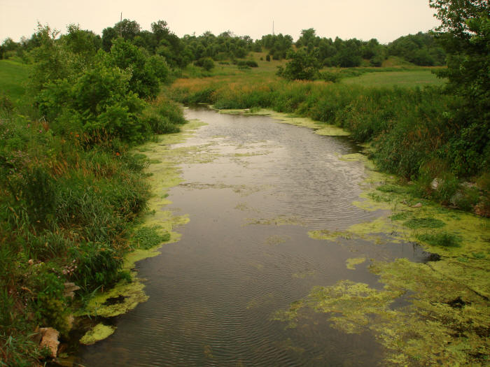
Below: Killinger Creek just south of Killinger Road looking south & upstream toward the bridge. The two photos to follow pan east and then northeast.
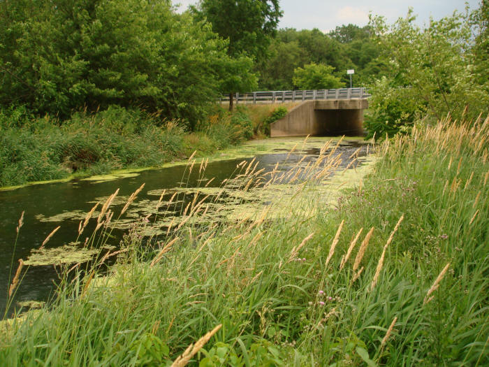
Below: Killinger Creek looking downstream (southwest) from the Killinger Road bridge.
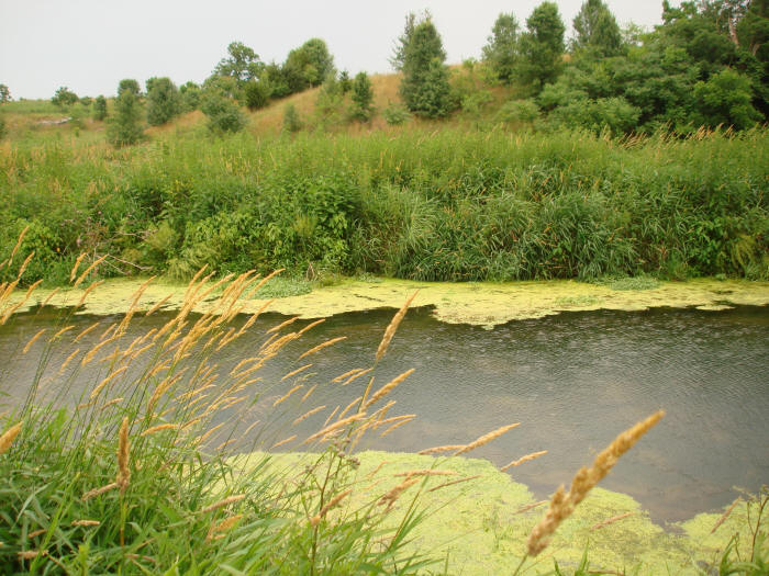
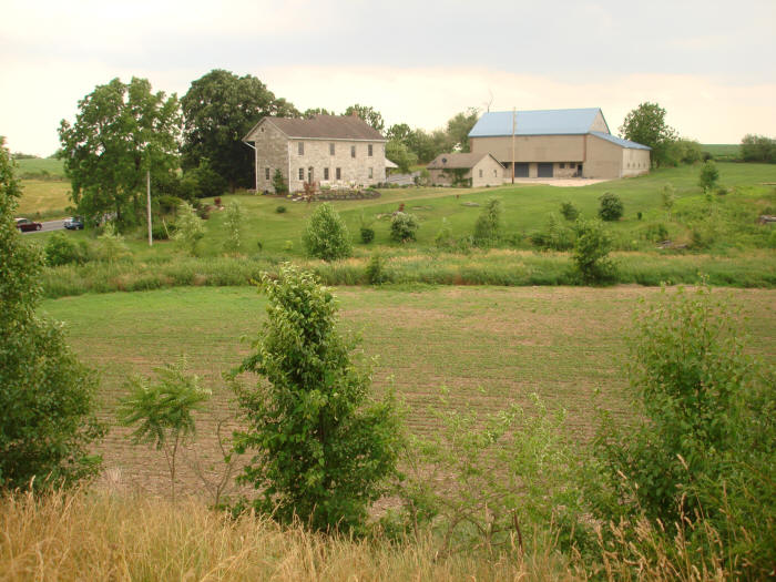
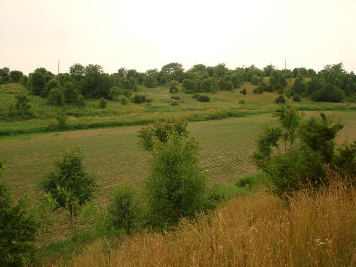
Below: Killinger Creek as seen from the small hill just northeast of the Killinger Road bridge, looking southwest into the small cultivated valley through which this section of the creek flows. A small section of Killinger Road can be seen at left. The photo below looks southwest. The next photo looks straight west.
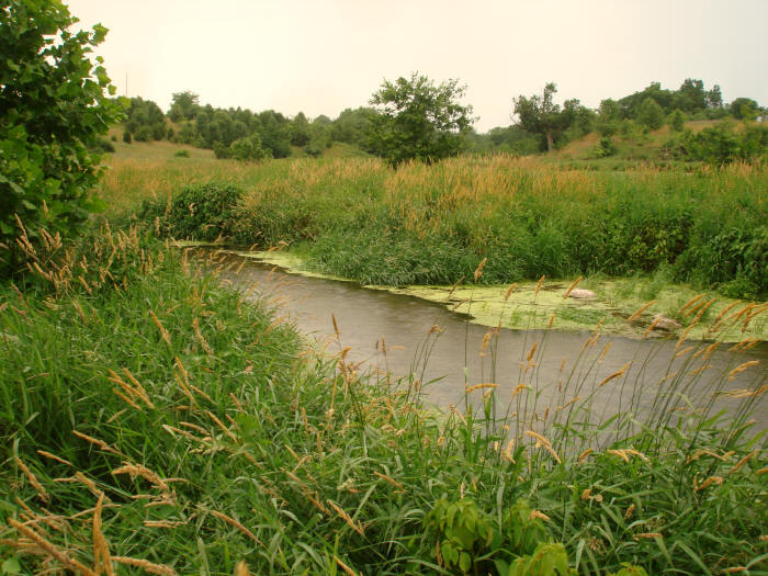
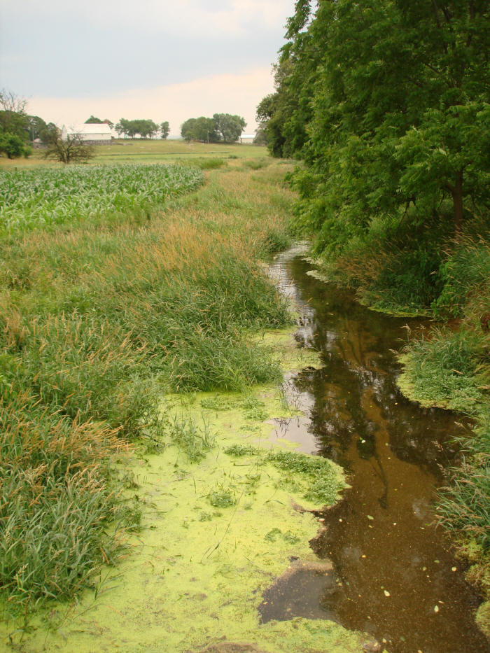
Below: Killinger Creek on the south side of the Killinger Road bridge, looking upstream.
This page is in progress. We appreciate your patience as we build this website.