.jpg) The Hazel Dike
The Hazel DikeIn June 1972, Hurricane Agnes ripped across the eastern seaboard of the United States and caused massive flooding across the region, including the City of Lebanon (see the excellent retrospective by Tom Horton in The Washingtonian, 19 June 2012). One result was that city & county planners, working in collaboration with state & federal officials, planned & built a concrete channel (or flume, or dike) designed to channel future floodwaters away from homes & businesses and protect Lebanon's properties. These are the origins of what's come to be known as the City of Lebanon's Hazel Dike.
This page offers a series of photos of Quittapahilla Creek from its headwaters on the east side of Lebanon, through the Hazel Dike, and out the other (western) side. We begin below with the small wetlands on the east side of Lebanon that forms the headwaters of Quittie Creek and work our way downstream.
At the bottom of the page we include some links to YouTube videos on the flooding caused by Tropical Storm Lee on 8-9 September 2011. During this major flood, the Hazel Dike did its job in effectively draining floodwaters from the City of Lebanon, which was spared major flood damage. The problem is that the floodwaters shot out of the end of the Hazel Dike like a cannon, and combined with the loss of wetlands and increase in impervious surfaces (buildings, roads, parking lots, driveways) intensified the flooding downstream — in Cleona, Annville, and beyond.

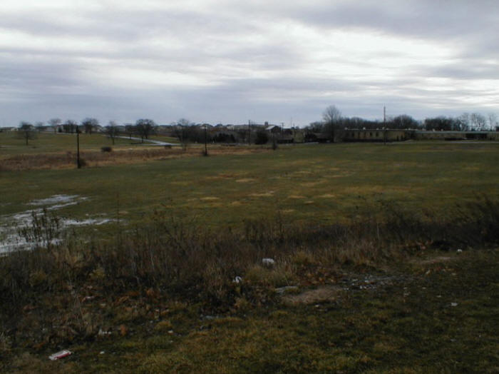
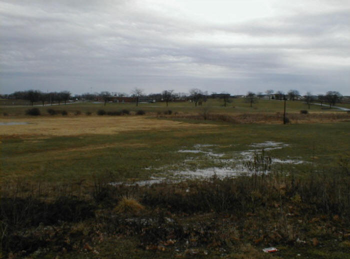
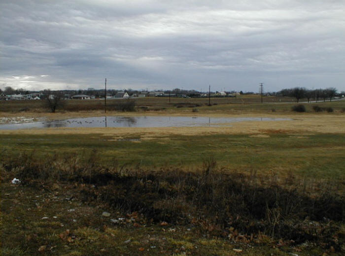
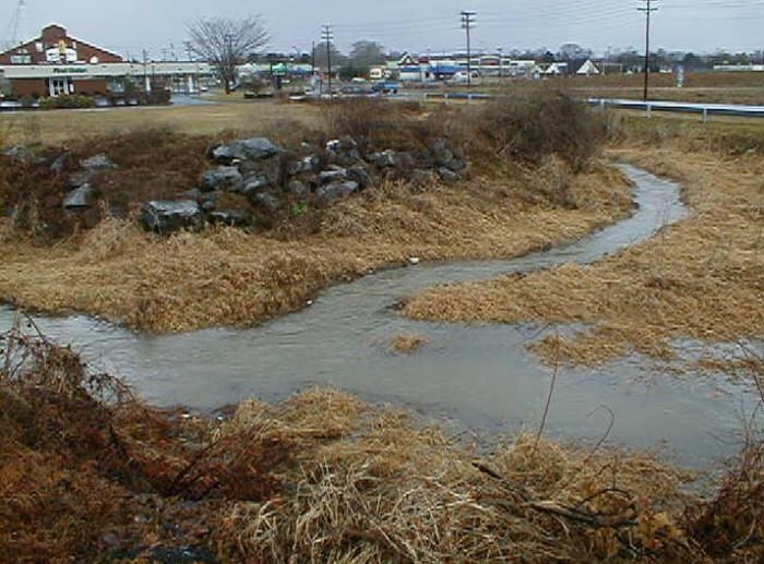
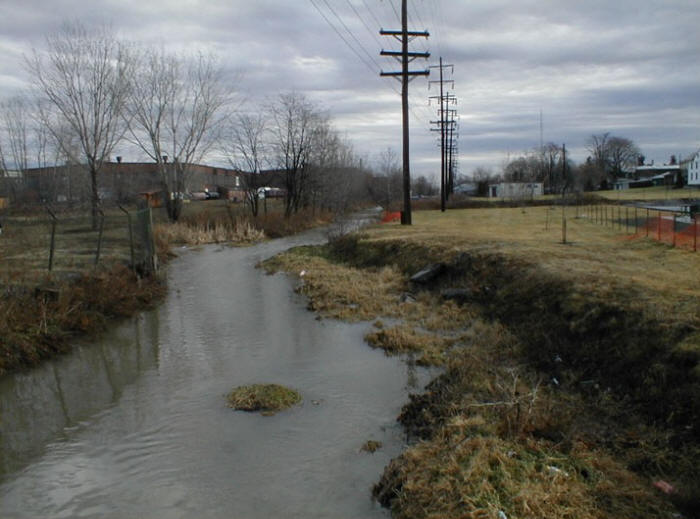
Above & Below: The Quittie begins in a small wetlands in South Lebanon Township, just southeast of Lebanon City, as seen in the photo above & the five to follow.
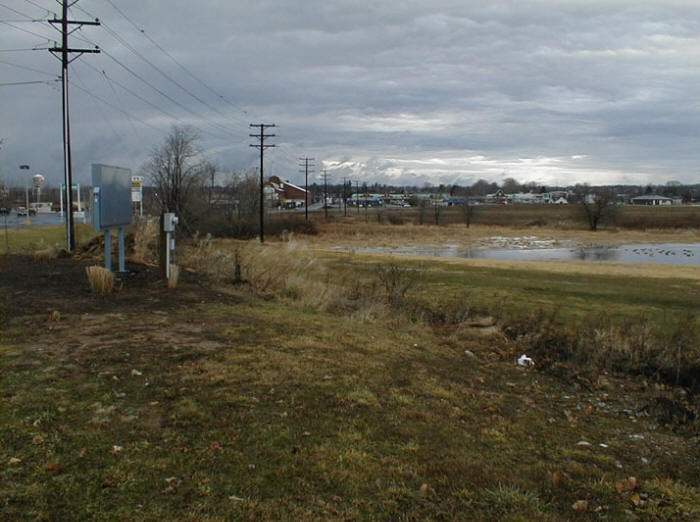
Below: A small unnamed stream flows into the Quittie before it passes under Rt. 422.
Below: The Quittie flowing northwest under Rt. 422.

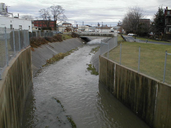
Below: The Quittie flowing north past the Burger King parking lot to its right (east).
Below: From North 5th Ave. looking east (upstream).
Below: From North 5th Ave. looking west (downstream).
Below: East of N. Lincoln Ave, the Quittie still flows on the ground.
Below: From N. Lincoln Ave. flowing west.
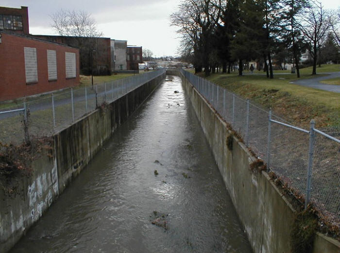
Below: From N. 3rd St. looking upstream (east).
Below: From N. 3rd St. looking downstream (west).

Below: From N. 4th St. looking east.
Below: Stormwater flowing directly from Lebanon's streets and entering Hazel Dike & Quittie Creek.
Below: From N. 4th St. looking west.
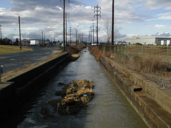
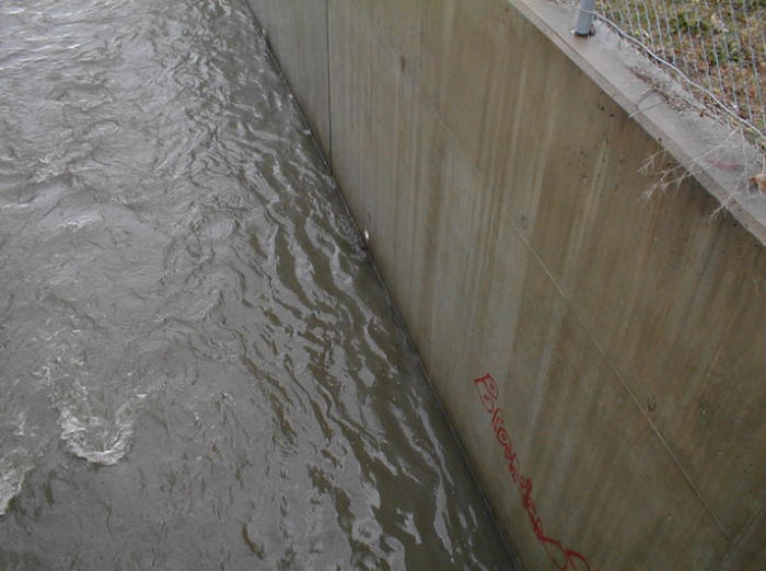
Below: Graffiti on the concrete walls of Hazel Dike.
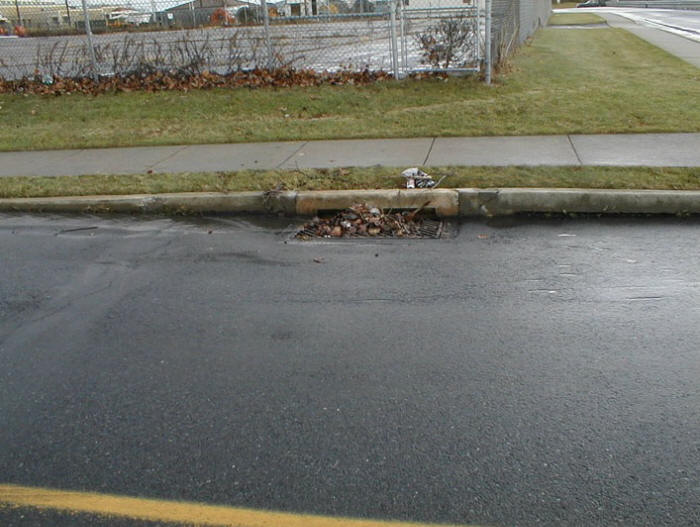
Below: Debris from Lebanon's streets congregates at the storm drain flowing into the Quittie.
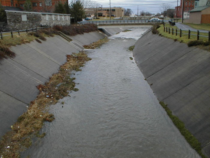
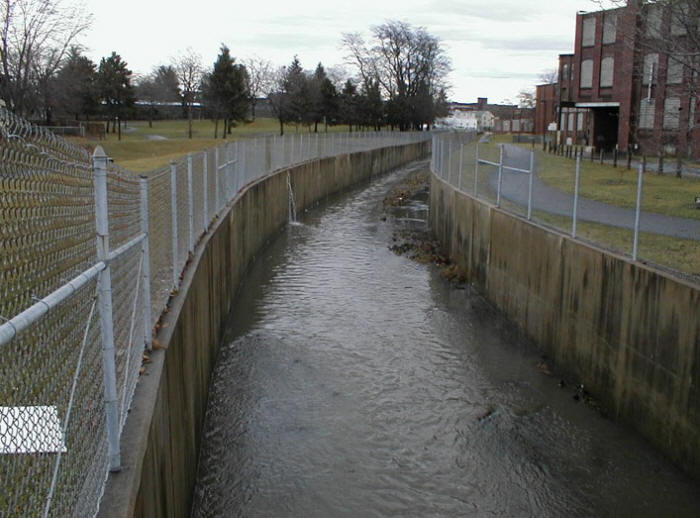
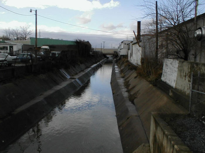
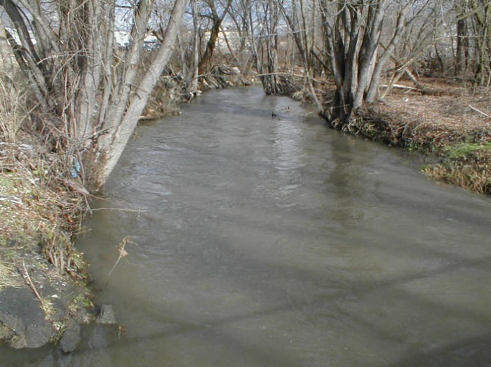
Below: From N. 5th St. looking east (upstream).
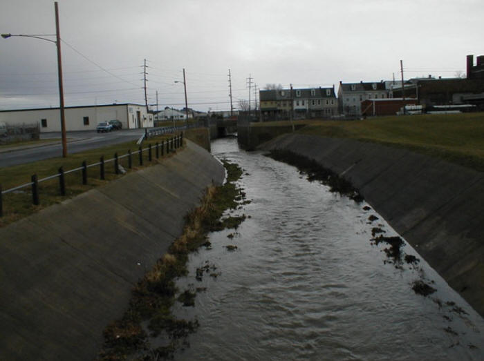
Below: From N. 5th St. looking west.
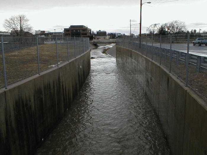
Below: From N. 7th St. looking west.
Below: From N. 7th St. looking east.
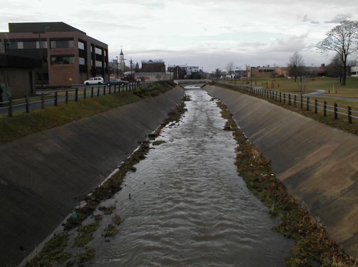
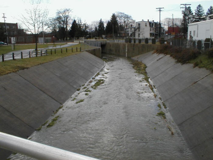
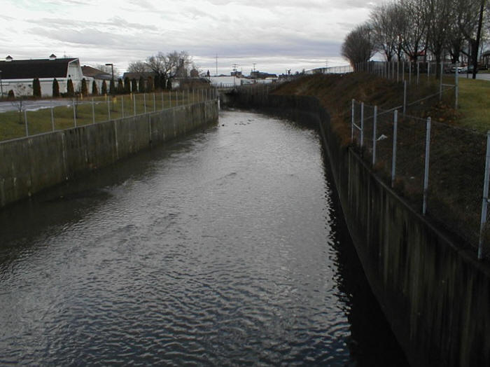
Below: From N. 9th St. looking east.
Below: From N. 9th St. looking west.
Below: From N. Partridge St. looking southwest to Willow St.
Below: Maintenance access at N. Partridge St. between N. 10th & N. 9th.
Below: From N. 10th St. looking downstream to Willow St.
Below: From Willow St., the Quittie flows under N. 12th St. just beyond the bend.
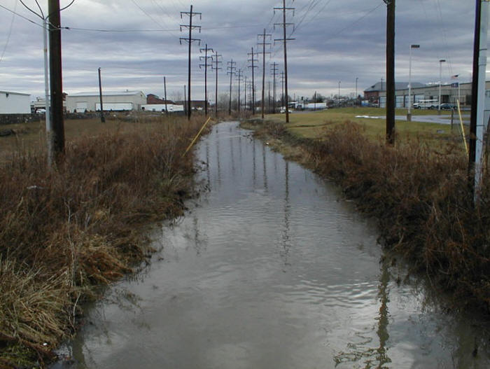
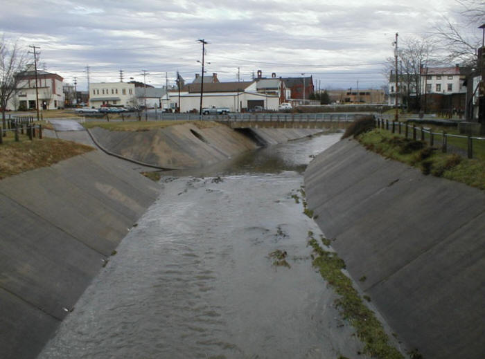
Below: Approaching the intersection of Rt. 422 & N. 12th St.
Below: Intersection of Rt. 422 and N. 12th St.
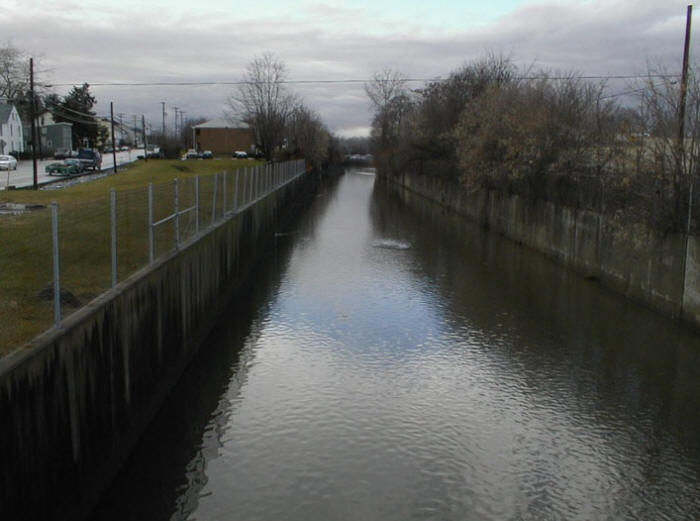
Below: From S. 12th St. looking west.
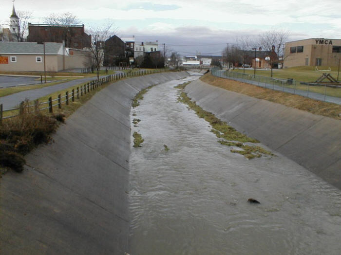
Below: From S. 16th St. looking east.
Below: From S. 16th St. looking west.
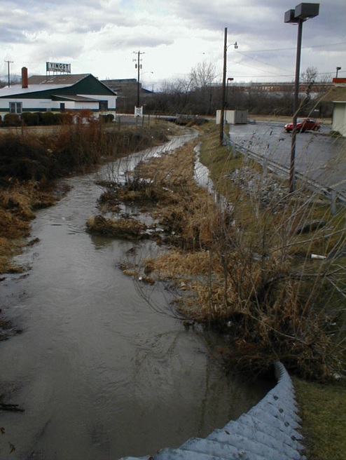
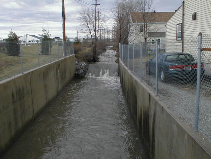
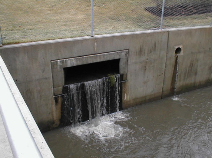
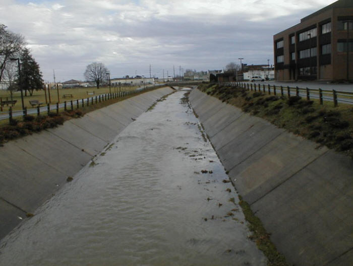
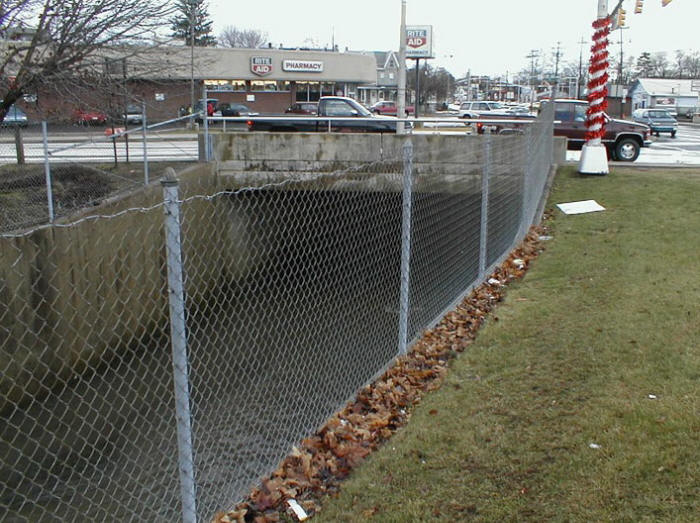
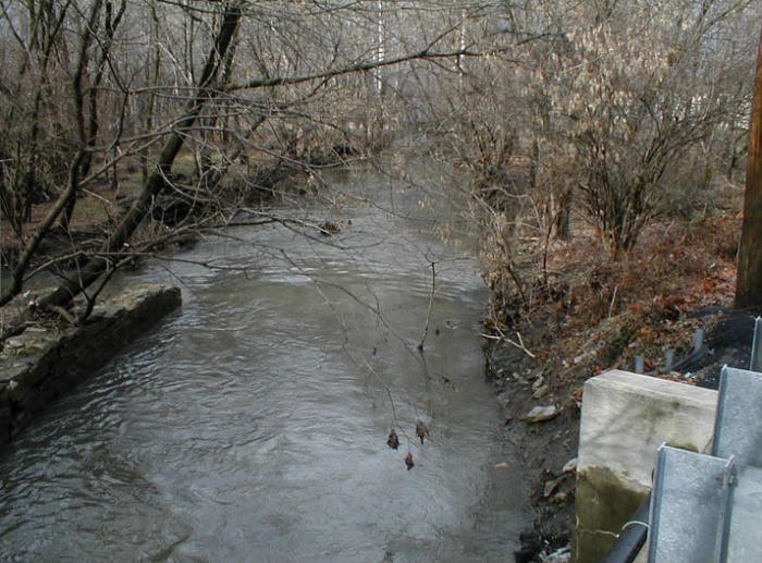
Below: Outflow from the Hazel Dike on the west side of Lebanon.
Below: End of the Hazel Dike, looking west (downstream).
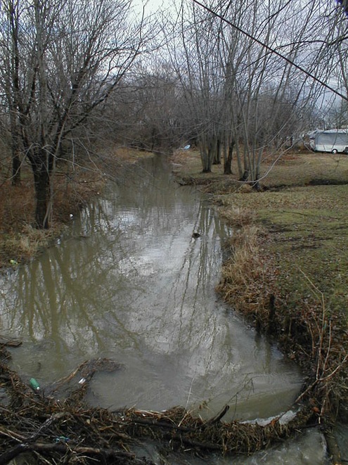
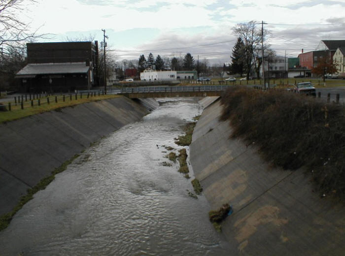
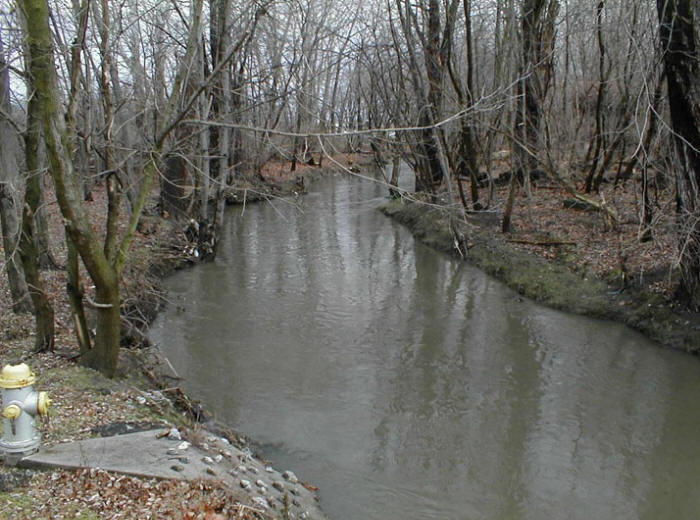
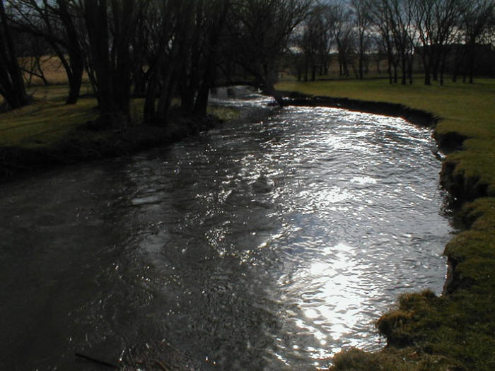
Below: From Chestnut St. on the west side of Lebanon, a few hundred yards downstream from the Hazel Dike, looking west (downstream).
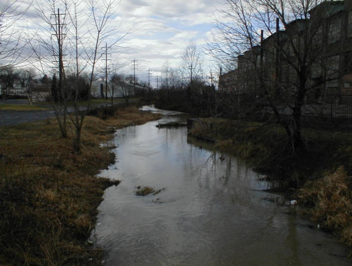
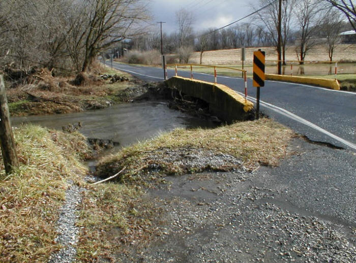
Below: From the Chestnut St. bridge looking east (upstream).
Below: Chestnut St. Bridge, destroyed in the floods caused by Tropical Storm Lee on 8-9 September 2011.
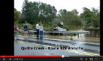
The Hazel Dike was put to the test by the flooding caused by Tropical Storm Lee in September 2011. Below we include links to a number of YouTube videos on the effects of this major "100-year" flood on the Quittapahilla watershed. The bottom line consensus among folks living downstream of Lebanon is that the Hazel Dike, in combination with the loss of wetlands and increase in impervious surfaces across the watershed, made the flooding a whole lot worse. Click on the images to access the videos (offsite, on YouTube).
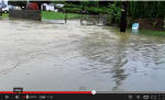 |
Flood at 6th St. in Lebanon, Sept. 8, 2011. |
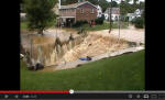 |
Floodwaters roaring into the Hazel Dike in Lebanon, Sept. 8, 2011. |
 |
Annville Flood 2011 by Kristina Blantz. |
 |
Floodwaters at the Route 422 bridge in Annville, Sept. 8, 2011. |
 |
"News 8 Checks Lebanon County Conditions" in North Annville Township, northwest of Annville - WGAL Lancaster, Sept. 8, 2011. |